Satellite imagery
Provides broad coverage but may lack the resolution needed for detailed diagnosis.
Clover Spatial AI Platform
Satellite-to-UAV monitoring for agriculture and land
Clover integrates satellite imagery, UAV imagery and ground-based data with AI and GIS. Our Spatial AI / remote sensing platform detects spatial and temporal changes across large agricultural areas, identifies locations that require closer inspection, and enables targeted follow-up with autonomous UAV missions.
Prototype / Pilot-ready
We do not identify species or crops. We verify whether land stayed managed, and tell staff which parcels still need a visit.
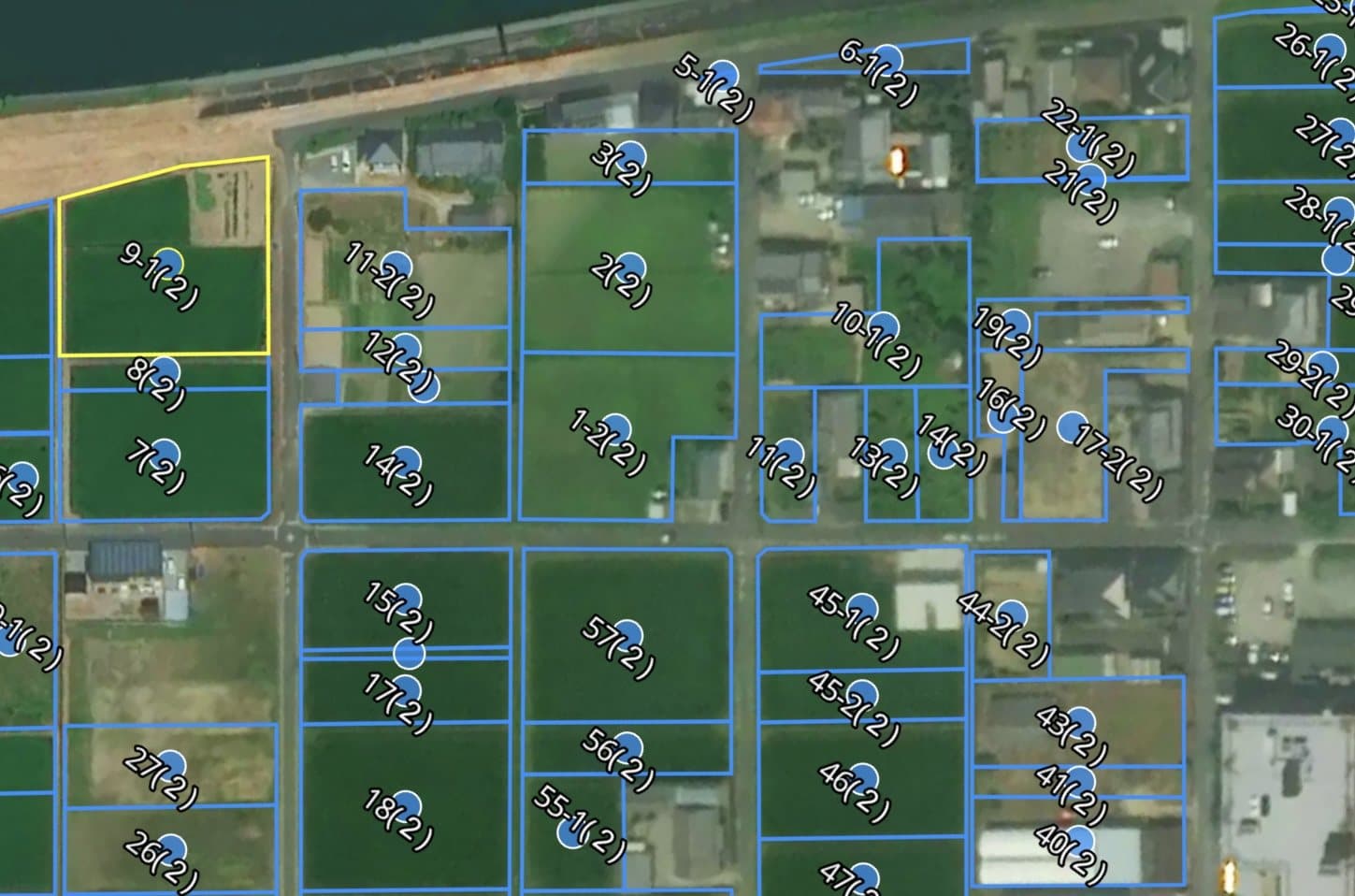
01 / About
Clover is a Japan-based technology startup developing a Spatial AI and remote sensing platform that integrates satellite imagery, UAV imagery, ground-based data, AI, and GIS.
Our platform detects spatial and temporal changes across large agricultural areas, identifies locations that require closer inspection, and enables targeted follow-up monitoring using autonomous UAV missions.
We are currently developing and validating applications for crop monitoring, field scouting, vegetation and land-condition monitoring, and precision inspection. Our goal is to reduce manual field inspection while enabling more frequent, data-driven monitoring of agricultural land.
We are also developing compact autonomous UAV technology capable of following predefined geographic routes for repeatable field observation.
02 / Problem
Agricultural monitoring still relies heavily on manual field inspection, which becomes costly and difficult to repeat frequently across large areas.
Provides broad coverage but may lack the resolution needed for detailed diagnosis.
Provides high-resolution data but is inefficient if the entire area must be surveyed repeatedly.
Our approach
We combine both: satellite-based screening identifies areas of interest, and UAVs are deployed only where detailed inspection is needed.
03 / Solution
Clover Spatial AI Platform
Clover Spatial AI Platform combines satellite imagery, UAV imagery, AI, and GIS to monitor agricultural land at scale.
Satellite and other remote sensing data are used to detect spatial and temporal changes and identify areas requiring closer inspection. These priority areas can then be inspected using UAVs, including autonomous waypoint-based missions, to acquire higher-resolution imagery.
The platform is designed to reduce unnecessary field inspections and enable continuous, repeatable monitoring of crop conditions, vegetation changes, pest and weed risks, water stress, and other agricultural anomalies.
WorkflowObserve → Detect → Decide → Inspect & Record. Autonomous UAV follow-up integration is under development.
Satellite time series screen every parcel, every 5 days.
AI flags parcels that changed or look unmanaged.
Uncertainty scoring builds the inspection list; officers and drones go only where the model is unsure.
Vehicle camera, drone or officer confirms; every observation is stored as an audit-ready record.
04 / Technology
05 / Use cases
These are proposed field trial applications. We will define the scope and evaluation method with partners, based on crops, local conditions and available data.
Japan — in pilot discussions
EU — Spain and Cyprus pilots proposed
Australia — field trial sought
Japan — NEDO Challenge proposal
06 / Current stage
Current Stage: Prototype / Pilot-ready
We are currently developing and validating the platform and autonomous UAV system in Japan, with pilot applications in agriculture and land monitoring. We are preparing for international field validation and are particularly interested in testing the solution under Mediterranean agricultural conditions in Spain and Cyprus.
We have built PostGIS infrastructure for agricultural parcels and AI imagery pipelines in Japan. We are bringing our satellite, UAV and ground imagery inspection technology into agricultural field trials.
Compact autonomous UAVs and their integration for repeatable field inspection are under development. Accuracy and impact for each agricultural application will be evaluated using local field data.
07 / Field trials / Spain & Cyprus
We are looking for agricultural producers, research organizations, technology centers, and regional partners in Spain and Cyprus interested in jointly validating satellite-to-UAV monitoring workflows in real agricultural environments.
Contact personYusuke Yoshioka — Founder & CEO
Tell us your country, crops, field size and the challenge you want to address.
contact@clover-tech.jp
Flight approvals from the Japan Civil Aviation Bureau and river-embankment access permits are in place; our drone survey footage on this site is our own.